Big Sky Stream Flow Measuring
Measuring Every Drop Into Big Sky's Lake Levinsky
Service: Environmental & Planning
The Challenge
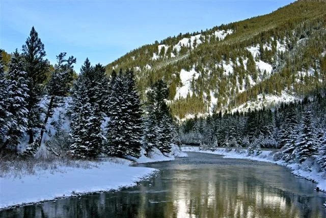
The Army Corps of Engineers required ongoing monitoring and recording of all surface water flowing into Lake Levinsky in Big Sky's Mountain Village. An accurate, calibrated measurement infrastructure had to be installed across three active stream tributaries, all in wetland areas requiring delineation and regulatory permits before any construction could begin.
Our Solution
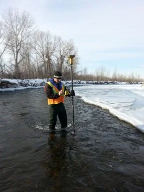
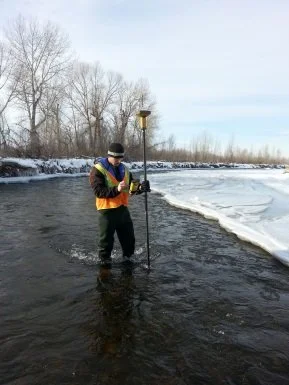
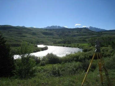
Gaston Engineering & Surveying designed concrete weir structures for each of the three main tributaries and managed all construction inspection and oversight through installation. We delineated wetland boundaries within each construction area and obtained the necessary permits to proceed. Following construction, each sharp-crested weir was calibrated on-site to verify accurate flow rate measurement.