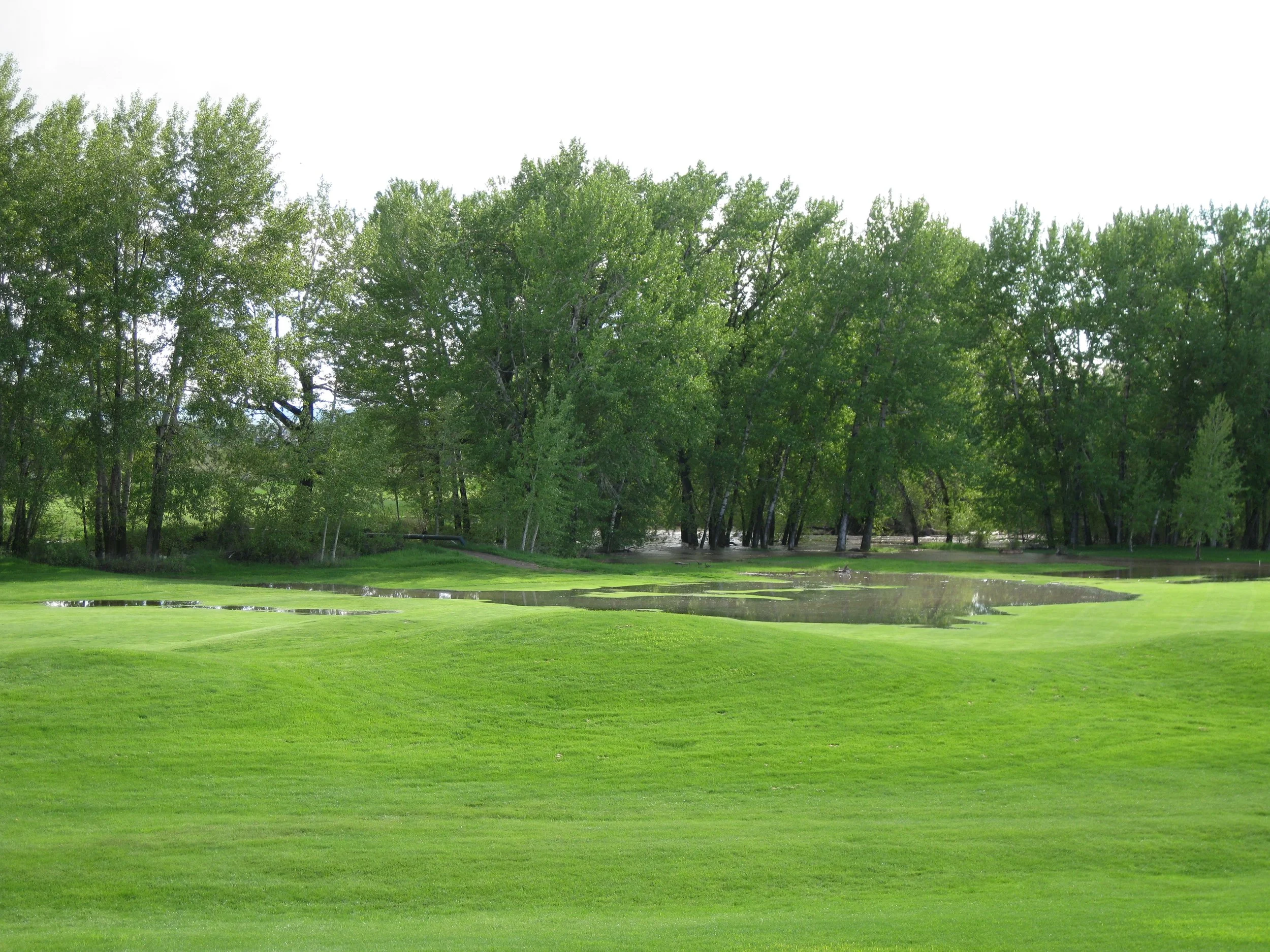
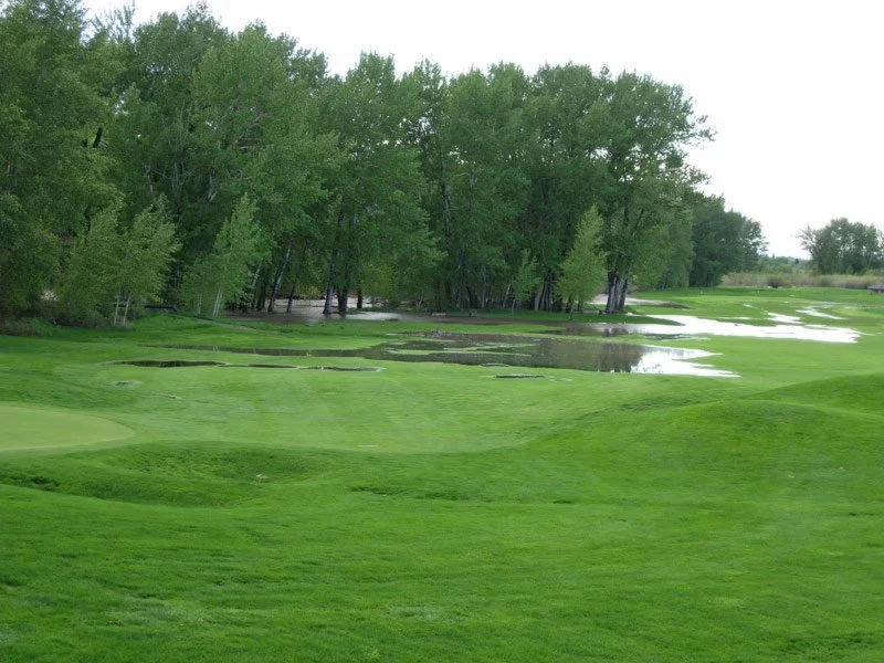
Baker Springs Floodplain Study
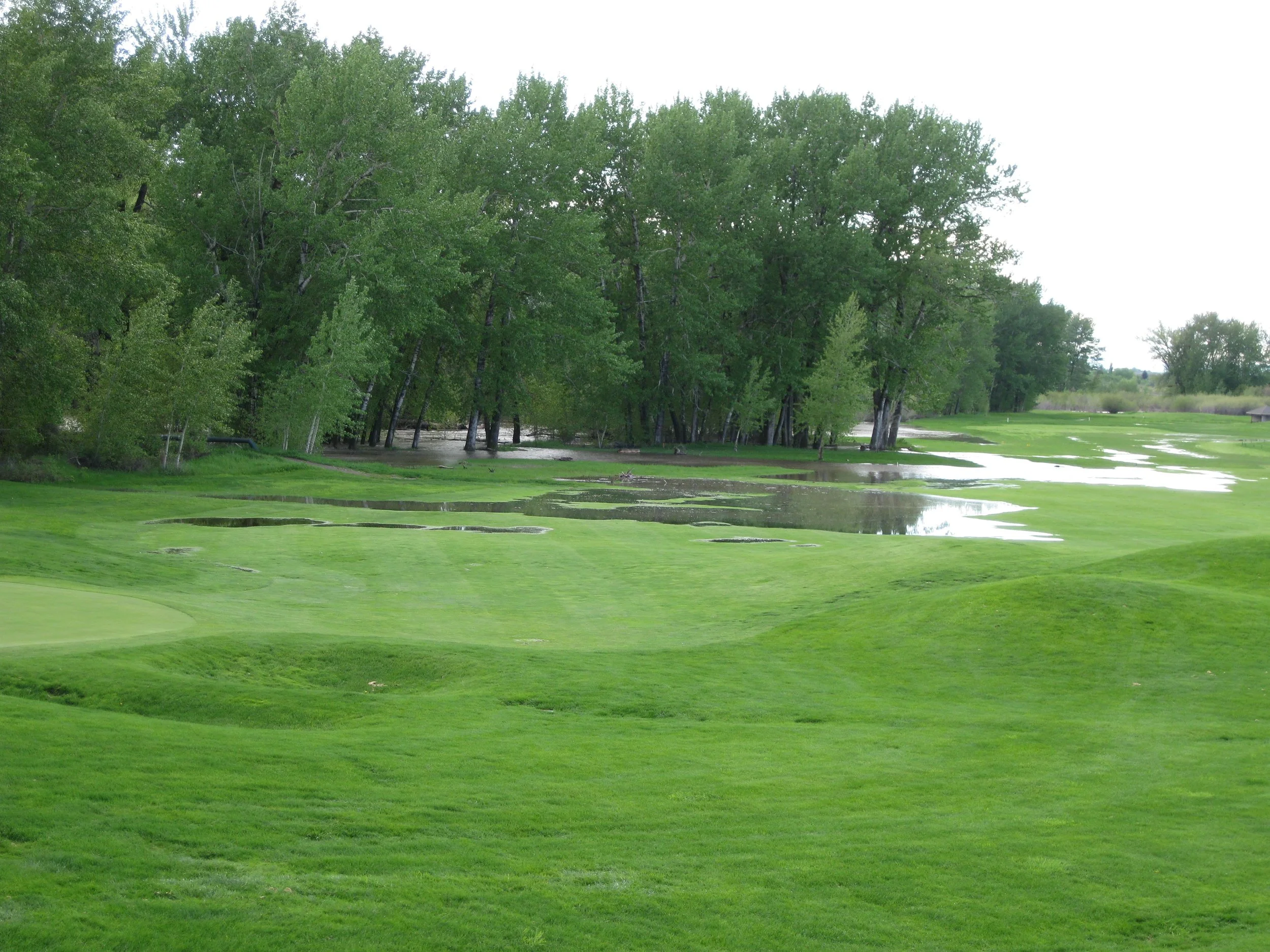
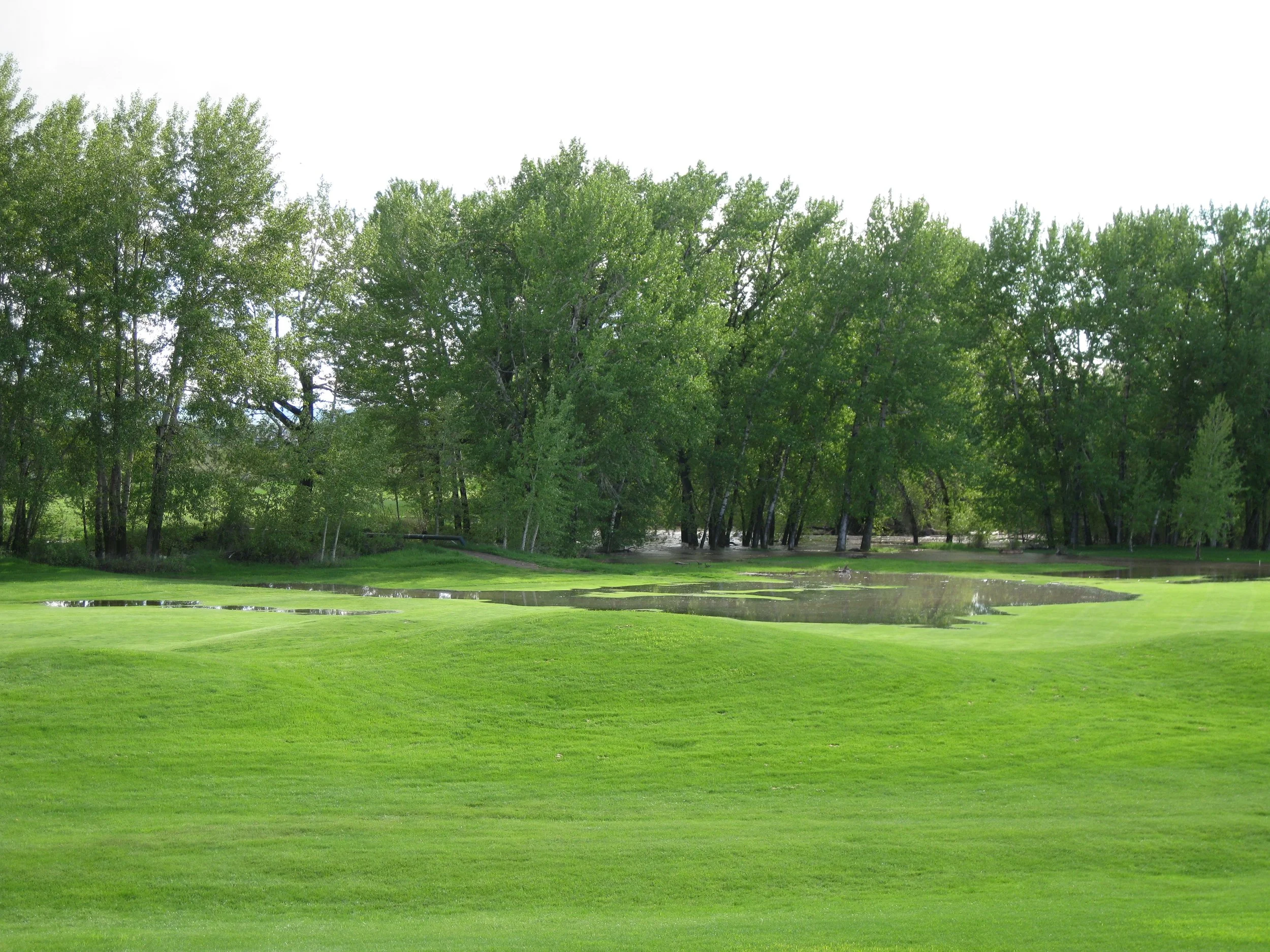
Defining the Floodplain on the Gallatin River
Service: Environmental & Planning
The Challenge
The Baker Springs Subdivision required precise floodplain delineation along the Gallatin River using current FEMA mapping data. Boundary determination depended on river cross sections developed in prior studies, with river gradient and channel capacity factored into the extended floodplain analysis.
Our Solution
Gaston Engineering & Surveying conducted the full floodplain delineation, integrating existing cross-section data with current FEMA maps and accounting for river gradient and capacity in the final boundary determination. The analysis was completed without the need for a Letter of Map Amendment.