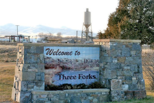
Floodplain Study/Delineation
(Baker Springs/Three Forks)
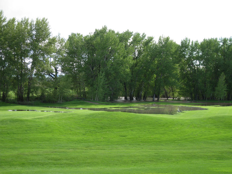
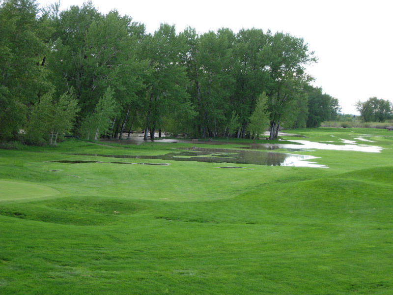 Gaston Engineering & Surveying was involved in the delineation of a floodplain on the Baker Springs Subdivision utilizing the current FEMA maps on the Gallatin River.
The project required delineation of the floodplain boundaries as determined by river cross sections developed in earlier studies. River gradient and capacity were also included in the determination of the extended floodplain. A letter of maps amendment was not required.